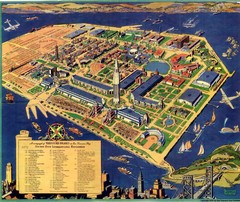
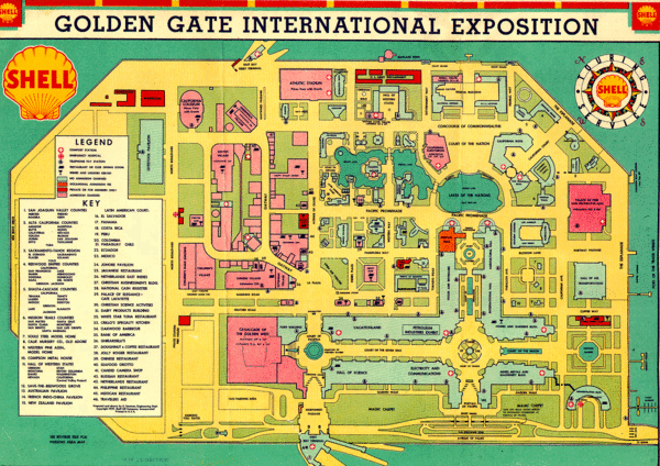
Golden Gate International Expo 1939 Map
near Treasure Island, San Francisco
See more
 See more
Nearby Maps

Golden Gate International Expo Cartograph 1939 Map
Bird's eye view of the Golden Gate International Expo in 1939 at Treasure Island in the San...
less than 1 mile away
Near Treasure Island, San Francisco

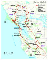
Bay Area Ridge Trail Map
Map of the Bay Area Ridge Trail. Shows completed segments through Sep 2009. "a 550+ mile...
less than 1 mile away
Near San Francisco, California

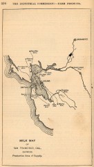
Antique map of San Francisco from 1901
"Milk Map of San Franciso, Cal., Showing Productive Area of Supply." From Report of the...
1 mile away
Near san francisco, california

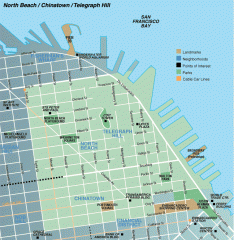
North Beach, Chinatown, Telegraph Hill map
Tourist map of North Beach, Chinatown, and Telegraph Hill in San Francisco
2 miles away
Near telegraph hill, san francisco

Downtown San Francisco: Fisherman's Wharf...
Tourist map of Fisherman's Wharf, North Beach, and Telegraph Hill area in downtown San...
3 miles away
Near san francisco, ca

Farwell’s Map of Chinatown in San Francisco...
This map of vice in San Francisco's Chinatown in 1885. A fascinating historical document, as...
3 miles away
Near 37.7947, -122.4072

 click for
 Fullsize

2 Comments
you have mixed up your world's fairs. The map is genuinely a map of the GGIE, but the satellite map you show is the location of the PPIE, held in the Marina district in 1915. The Palace of Fine Arts is a remnant of the PPIE of 1915, not the GGIE of 1939.
thanks for setting me straight Anne, I changed the description and the location.