Edit this map

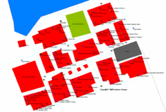
Freeport tourist map

near freeport, bahamas

View LocationView Map

26.5418514701387 -78.6758422851562 11 satellite
Nearest Map »  Fullsize
841 × 11161.6 MBJPG

Tourist map of Freeport on Grand Bahama Island in the Bahamas.

From altcancer.com

C. Contillo added
Oct 18, 2007

Rating
rated 5 by 1 person

See an error? Report it.

Keywords

tourism, caribbean, island

0 Comments

New comments have been temporarily disabled.
See more

Nearby Maps

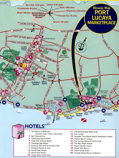
Port Lucaya Marketplace, Grand Bahama Island...

Port Lucaya Marketplace, Grand Bahama Island...

2 miles away

Near Grand Bahama Island, Freeport Bahamas
Keywords: tourism
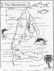
Map of the Bimini Islands in the Bahamas

Map of the Bimini Islands in the Bahamas

Map of the Bimini Islands in the Bahamas.

67 miles away

Near bimini, bahamas
Keywords: tourism, caribbean
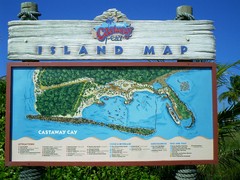
Castaway Cay Island Tourist Map

Castaway Cay Island Tourist Map

Tourist map of Disney's private Castaway Cay Island in the Bahamas. From photo of sign.

77 miles away

Near 26.083305, -77.53335
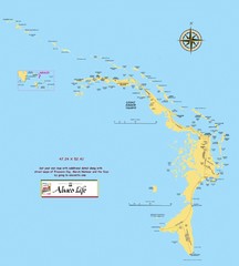
Abaco Islands Map

Abaco Islands Map

General map of Abaco islands of the Bahamas

82 miles away

rated 3 by 1 person
Near Abaco, Bahamas
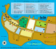
New Plymouth Village, Green Turtle cay Map

New Plymouth Village, Green Turtle cay Map

85 miles away

Near new plymouth bahamas
Keywords: reference, tree, pease, corner
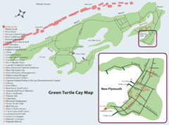
Green Turtle cay Map

Green Turtle cay Map

85 miles away

rated 5 by 1 person
Keywords: reference
See more