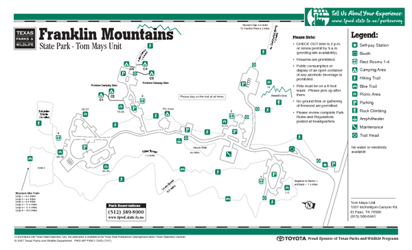
Franklin Mountains, Texas State Park Facility and Trail Map
near Franklin Mountains, Texas
See more

 See more
Nearby Maps

Area Map of El Paso
Area Map of El Paso. Illustrates all buildings, streets and Visitor Parking in the city.
10 miles away
Near El Paso, Texas, USA

El Paso, Texas City Map
10 miles away
Near El Paso, Texas

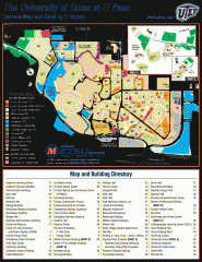
The University of Texas at El Paso Map
The University of Texas at El Paso. All buildings shown.
10 miles away
Near El Paso, Texas

Downtown El Paso Map
Downtown tourist street map of El Paso and nearby Juarez
10 miles away
Near El Paso, Texas

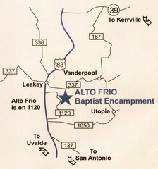
Alto Frio, Texas Tourist Map
11 miles away
Near Alto Frio, Texas

Indian Lodge, Texas State Park Location and Room...
15 miles away
Near Indian Lodge, Texas state park

 click for
 Fullsize

0 Comments
New comments have been temporarily disabled.