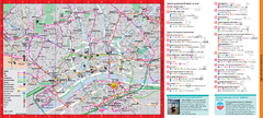
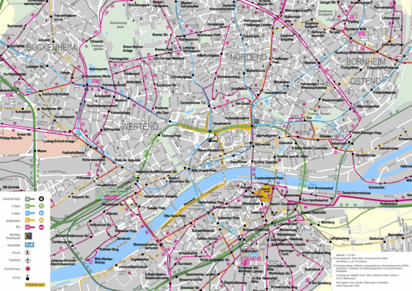
Frankfurt Public Transportation Map
near Frankfurt, Germany
View Location
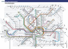
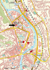
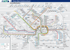
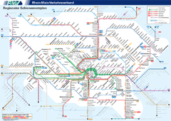
Public transportation map of central Frankfurt, Germany. Shows bus and train routes.
Tweet
See an error? Report it.
Keywords
transportation, city, bus, train, westbahnhof, mercure hotel messe, altshul, altshul, römerberg See more
 See more
Nearby Maps

Frankfurt Subway Map (German)
0 miles away
Near Frankfurt, Germany

Frankfurt Tourist Map
0 miles away
Near Frankfurt

Frankfurt Nahverkehr Map
less than 1 mile away
Near frankfurt

Frankfurt Nahverkehr Map
less than 1 mile away
Near frankfurt

Frankfurt City Map
less than 1 mile away
Near frankfurt

 click for
 Fullsize


0 Comments
New comments have been temporarily disabled.