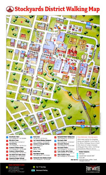
Fort Worth Stockyards District Map
near North Main, Fort Worth, TX
See more
 See more
Nearby Maps

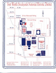
Fort Worth Stockyards Map
Fort Worth Stockyards Historical District Map
2 miles away
Near Fort Worth

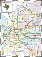
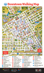
Fort Worth, Texas City Map
3 miles away
Near Fort Worth, Texas USA

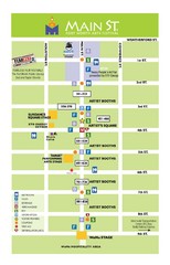
Taylor Street to Commerce Street and 1st Street...
3 miles away
Near 2nd and Taylor, Fort Worth, Texas

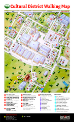
Fort Worth Cultural District Map
Tourist map of cultural district of Fort Worth
3 miles away
Near Fort Worth, Texas

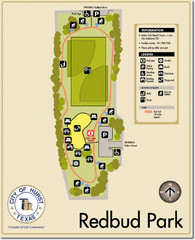
Rebud Park Map
10 miles away
Near Rebud Park Texas

 click for
 Fullsize

0 Comments
New comments have been temporarily disabled.