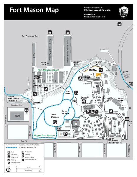
Fort Mason Map
near Fort Mason, San Francisco, California
View Location
Overview map of Fort Mason, San Francisco, California. Shows trails and points of interest.
See more
 See more
Nearby Maps

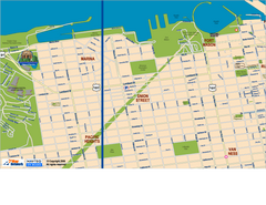
Downtown San Francisco: Fort Mason, the Marina...
Tourist map of Fort Mason, the Marina, and Pacific Heights area in downtown San Francisco...
less than 1 mile away
Near san francisco, ca

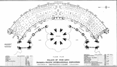
San Francisco Palace of the Fine Arts Map
less than 1 mile away
Near Palace of the Fine Arts, San Francisco

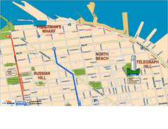
Downtown San Francisco: Fisherman's Wharf...
Tourist map of Fisherman's Wharf, North Beach, and Telegraph Hill area in downtown San...
1 mile away
Near san francisco, ca

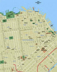
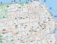
Downtown San Francisco tourist map
Tourist map of Downtown San Francisco spanning several neighborhoods, showing points of interest.
1 mile away
Near san francisco, california

San Francisco Bus and Ferry Map
1 mile away
Near san francisco, ca

 click for
 Fullsize


1 Comments
sometimes a sketch element hanging around here, be aware!