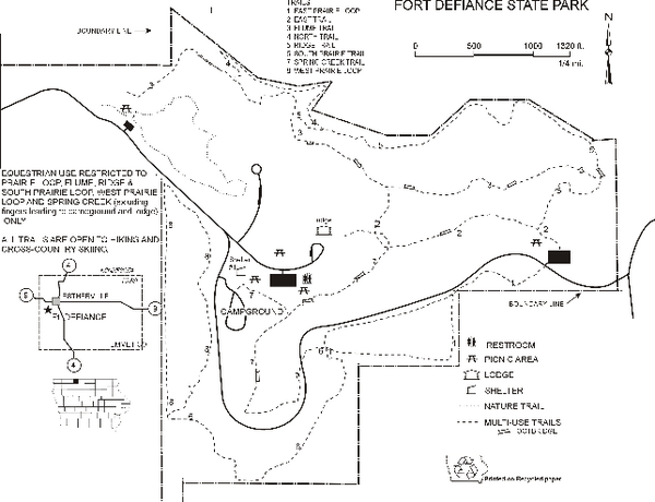
Fort Defiance State Park Map
near estherville, IA
View Location
Map of hiking, equestrian and cross country skiing trails and park facilities of Fort Defiance State Park.
See more
 See more
Nearby Maps

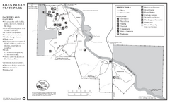
Kilen Woods State Park Winter Map
Winter seasonal map of park with detail of trails and recreation zones
25 miles away
Near Kilen Woods State Park, MN

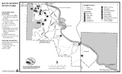
Kilen Woods State Park Summer Map
Summer seasonal map of park with detail of trails and recreation zones
25 miles away
Near Kilen Woods State Park, MN

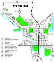
Windom City Parks Map
36 miles away
Near Windom

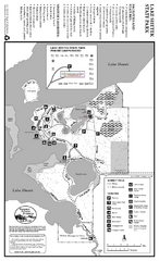
Lake Shetek State Park Summer Map
Summer seasonal map of park with detail of trails and recreation zones
64 miles away
Near 163 State Park Rd, Currie, MN

Lake Shetek State Park Winter Map
Winter seasonal map of park with detail of trails and recreation zones
64 miles away
Near 163 State Park Rd, Currie, MN

Flandrau State Park Map
Map of park with detail of trails and recreation zones
65 miles away
Near 1300 Summit Ave, New Ulm, MN

 click for
 Fullsize

0 Comments
New comments have been temporarily disabled.