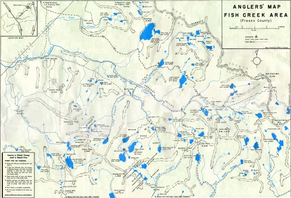
Fish Creek Area Anglers' Map
View Location
Hand-drawn fishing map of lakes, peaks, and trails in the Fish Creek Area of the John Muir Wilderness.
See more
 See more
Nearby Maps

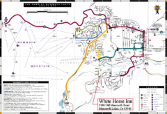
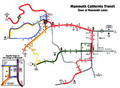
Mammoth Town Map
Town of Mammoth Lakes with shuttle lines included
9 miles away
Near Mammoth Lakes, California

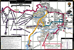
Mammoth Town Map
Map of Mammoth, including shuttle lines
9 miles away
Near Mammoth Lakes, California

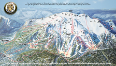
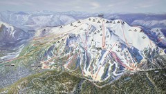
Mammoth Mountain Downhill Skiing Trails Map
Downhill skiing trails on Mammoth Mountain, near Mammoth Lakes, California. Shows trails and their...
9 miles away
Near mammoth mountain, ca

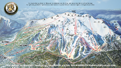
Mammoth Mountain Ski Trail map 2005
Official ski trail map of Mammoth Mountain ski area from the 2005-2006 season.
10 miles away
Near 1 Minaret Road, Mammoth Lakes, CA 93546

 click for
 Fullsize


0 Comments
New comments have been temporarily disabled.