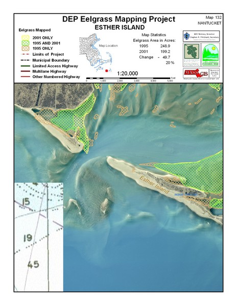
Esther Island Map
near Esther Island, Nantucket
See more

 See more
Nearby Maps

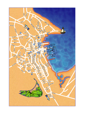
Nantucket Town Street Map
Tourist map of town of Nantucket on Nantucket Island. Shows major streets and points of interest...
7 miles away
Near Nantucket, MA

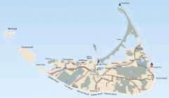
Tourist Map of Nantucket Island
Tourist map of Nantucket Island. Shows all towns and information.
8 miles away
Near Nantucket, Massachusetts

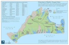
Martha's Vineyard Watershed Map
23 miles away
Near Martha's Vineyard, MA

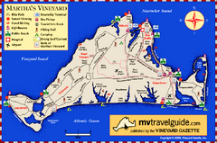
Martha's Vineyard Island Map
Tourist map of island of Martha's Vineyard, Massachusetts.
24 miles away
Near Martha's Vineyard, Massachusetts

Cape Cod Hospital Map
Map of external vicinity of Cape Cod Hospital
26 miles away
Near 66 Lewis Bay Rd, Hyannis, MA

Cape Cod Hospital Map
Campus map of Cape Cod Hospital
26 miles away
Near 66 Lewis Bay Rd, Hyannis, MA

 click for
 Fullsize


0 Comments
New comments have been temporarily disabled.