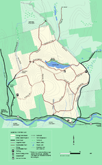
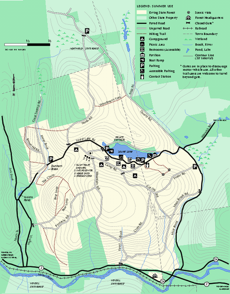
Erving Summer trail map
near erving, ma
See more
 See more
Nearby Maps

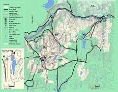
Erving State Park winter use map
Winter use map of the Erving State Park in Massachusetts
less than 1 mile away
Near erving, ma

Wendell State Forest trail map
Trail map of Wendell State Forest in Massachusetts.
5 miles away
Near wendell, ma

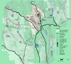
Mt. Grace State Forest trail map
Trail map of Mt. Grace State Forest near Warwick, Massachusetts.
5 miles away
Near warwick, ma

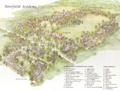
Deerfield Academy Campus Map
Shows buildings and facilities of Deerfield Academy. Scanned.
12 miles away
Near Deerfield, Mass

Mt. Sugarloaf State Reservation trail map
Trail map of Mount Sugarloaf State Reservation
14 miles away
Near deerfield, ma

Otter River State Forest summer trail map
Summer trail map of the Otter River State Forest area in Massachusetts.
15 miles away
Near baldwinville, ma

 click for
 Fullsize


0 Comments
New comments have been temporarily disabled.