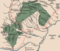
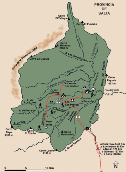
El Rey National Park Map
near Parque Nacional El Rey, Salta, Argentina
See more
 See more
Nearby Maps

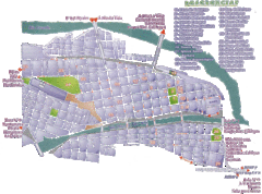
San Salvador de Jujuy Tourist Map
Tourist street map of downtown
55 miles away
Near San Salvador de Jujuy, Argentina

Los Cardones National Park Map
Map of park with detail of trails
101 miles away
Near parque nacional Los Cardones, Salta, Argentina

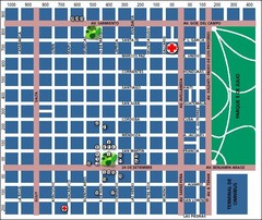
San Miguel de Tucuman City Map
Street map of downtown
150 miles away
Near San Miguel de Tucuman, Argentina

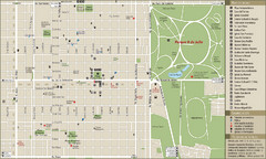
San Miguel de Tucuman Tourist Map
Tourist street map of downtown
151 miles away
Near San Miguel de Tucuman, Tucuman, Argentina

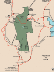
Calilegua National Park Map
Map of park with detail of various trails
174 miles away
Near Calilegua National Park, Jujuy, Argentina

 click for
 Fullsize

0 Comments
New comments have been temporarily disabled.