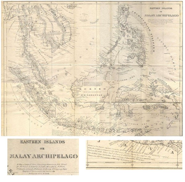
Eastern Islands Map
near gulf of siam
View Location
Antique map of the Eastern Islands or Malay Archipelago. Includes all islands, towns and detailed information about the region.
See more
 See more
Nearby Maps

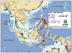
East Asian Sea Map
Map of the seas and oceans in East Asia. Includes color coded depths of the water and locations of...
47 miles away
Near Malaysia

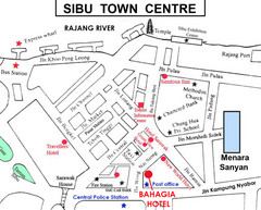
Sibu Tourist Map
184 miles away
Near Sibu

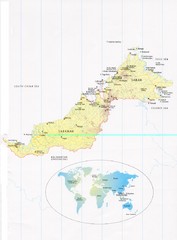
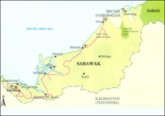
Sarawak and Sabah Map
Overview map of Sarawak and Sabah, Malaysia. Also shows Brunei Darussalam. Inset shows location...
191 miles away
Near Sabah, Malaysia

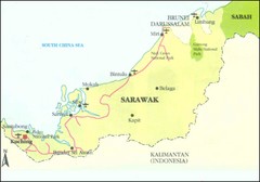
Sarawak Malaysia Map
217 miles away
Near Sarawak Malaysia

 click for
 Fullsize


0 Comments
New comments have been temporarily disabled.