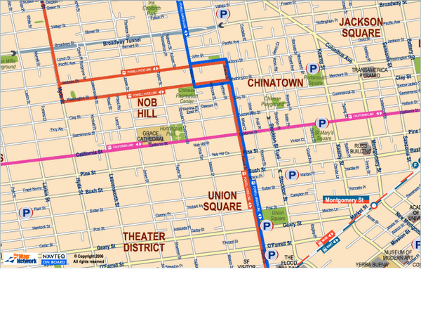
Downtown San Francisco: Union Square, Chinatown, and Nob Hill areas Map
near san francisco, ca
View Location
Tourist map of Union Square, Chinatown and Nob Hill in Downtown San Francisco, California. Public transportation, parks, interesting buildings and other points of interest are shown.
See more

 See more
Nearby Maps

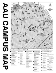
Academy of Art University San Francisco, CA Map
less than 1 mile away
Near academy of art university san francisco, ca

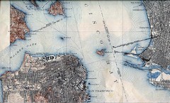
San Francisco Map 1915
less than 1 mile away
Near San Francisco

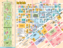
Union Square Tourist Map
Tourist map of Union Square district in San Francisco, California. Shows all venues and points of...
less than 1 mile away
Near Union Square, San Francisco

Farwell’s Map of Chinatown in San Francisco...
This map of vice in San Francisco's Chinatown in 1885. A fascinating historical document, as...
less than 1 mile away
Near 37.7947, -122.4072

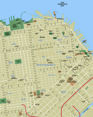
Downtown San Francisco tourist map
Tourist map of Downtown San Francisco spanning several neighborhoods, showing points of interest.
less than 1 mile away
Near san francisco, california

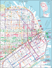
Downtown San Francisco Transit Map
Guide to area and transit in downtown San Francisco
less than 1 mile away
Near San Francisco , CA, US

 click for
 Fullsize


0 Comments
New comments have been temporarily disabled.