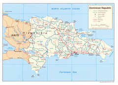
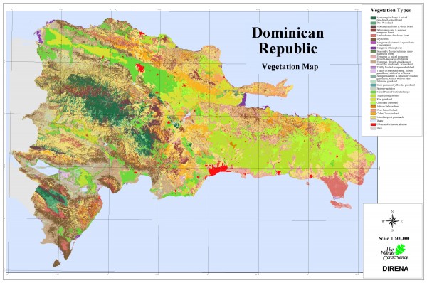
Dominican Republic Vegetation Map
near Dominican Republic
See more
 See more
Nearby Maps

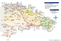
Dominican Republic Tourist Map
0 miles away
Near Dominican Republic

Dominican Republic Tourist Map
Overview tourist map of the Dominican Republic
11 miles away
Near Dominican Republic

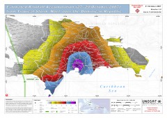
Rainfall Accumulation from Tropical Storm Noel...
From UNOSAT: "This map presents the estimated rainfall accumulation from Tropical Storm...
22 miles away
Near Dominican Republic

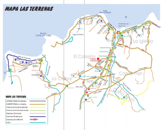
Las Terranas Map
Street map of Las Terranas, Dominican Republic.
57 miles away
Near Las Terranas, Dominican Republic

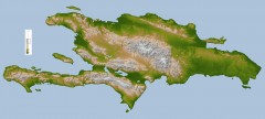
Hispaniola Topo Map
Satellite image of Hispaniola (Haiti and the Dominican Republic) color-coded by elevation.
80 miles away
Near Los Zanjones, Dominican Republic

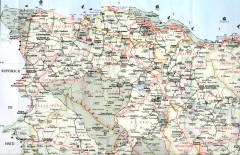
Dominican Republic North Region Road Map
Road map of the northwestern region of the Dominican Republic. Scanned.
85 miles away

 click for
 Fullsize


0 Comments
New comments have been temporarily disabled.