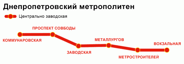
Dnipropetrovs'k Metro Map (Russian)
near Dnipropetrovsk, Ukraine
See more

 See more
Nearby Maps

Dnepropetrovsk Downtown Map
Map of central Dnepropetrovsk, Ukraine's third largest city
6 miles away
Near Dnepropetrovsk, Ukraine

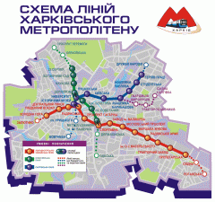
Official Kharkiv Metro Map (Ukrainian)
Official metro map of Kharkiv. In Ukrainian.
120 miles away
Near Kharkiv, Ukraine

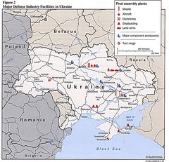
Ukraine Defense Facilities Map
Map of major defense industry facilities throughout Ukraine
121 miles away
Near Ukraine

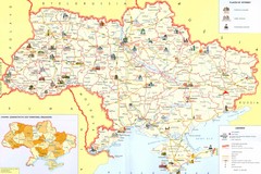
Ukraine Places of Interest Map
Overview map of Ukraine. Shows places of interest. Inset map shows administrative and territorial...
138 miles away
Near Ukraine

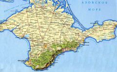
Crimea Peninsula Map
229 miles away
Near Crimea, Ukraine

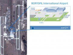
Boryspil International Airport Map
Terminal and Road map of Boryspil International Airport. Near Kyiv, Ukraine.
231 miles away
Near Boryspil, Ukraine

 click for
 Fullsize


0 Comments
New comments have been temporarily disabled.