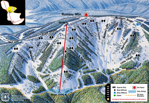
Discovery Basin Ski Area B Ski Trail Map
near Montana, United States
See more
 See more
Nearby Maps

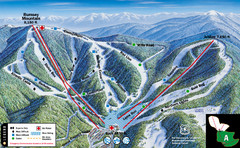
Discovery Basin Ski Area A Ski Trail Map
Trail map from Discovery Basin Ski Area.
0 miles away
Near Montana, United States

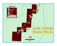
Lost Creek State Park Map
These spectacular gray limestone cliffs and pink and white granite formations rise 1,200 feet above...
11 miles away
Near Lost Creek State Park, MT, USA

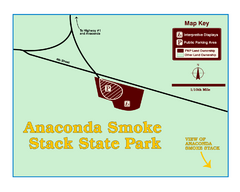
Anaconda Smoke Stack State Park Map
Simple map of State Park.
17 miles away
Near Anaconda State Park, MT

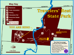
Travelers' Rest State Park Map
The Lewis and Clark expedition camped here twice during their historic journey to locate the...
36 miles away
Near Highway 12, MT, USA

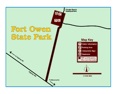
Fort Owen State Park Map
Fort Owen’s adobe and log remains preserves the site of the first permanent white settlement...
45 miles away
Near Fort Owen, MT, USA

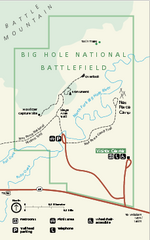
Big Hole National Battlefield Official Map
Official NPS map of Big Hole National Battlefield in Montana. Big Hole National Battlefield is...
47 miles away
Near Big Hole National Battlefield, montana

 click for
 Fullsize

0 Comments
New comments have been temporarily disabled.