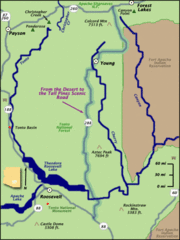
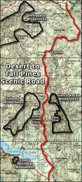
Desert to Tall Pines Scenic Byway Map
near Young, AZ
View Location
A much better map of the Desert to Tall Pines Scenic Byway. Unfortunately does not give hiking trails.
See more
 See more
Nearby Maps

From the Desert to the Tall Pines Scenic Byway Map
Desert to Tall Pines Scenic Byway. This is the Scenic Byways official name. This is not a very...
0 miles away
Near Young, AZ

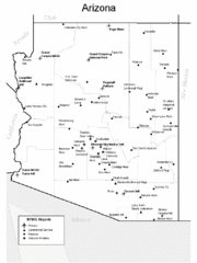
Arizona Airports Map
8 miles away
Near Arizona

Arizona Zip Code Map
Check out this Zip code map and every other state and county zip code map zipcodeguy.com.
8 miles away
Near Arizona

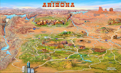
Northern Arizona attractions Map
8 miles away
Near arizona

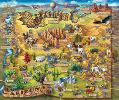
Arizona Fun Map
8 miles away
Near arizona

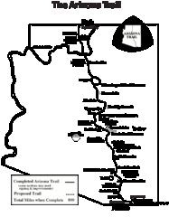
Arizona Trail Progress Map
Basic outline map of Arizona Trail. Other Maps available through BLM. There are links at the...
30 miles away
Near Roosevelt Lake, AZ

 click for
 Fullsize

0 Comments
New comments have been temporarily disabled.