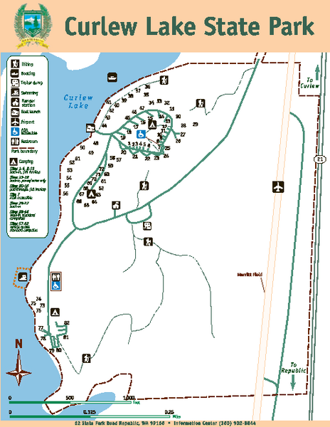
Curlew Lake State Park Map
near 62 State Park Road, Republic, WA 99166
See more
 See more
Nearby Maps

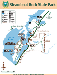
Steamboat Rock State Park Map
Map of park with detail of trails and recreation zones
38 miles away
Near 51052 Highway 155, Electric City, WA

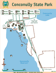
Conconully State Park Map
Map of park with detail of trails and recreation zones
43 miles away
Near 1 South Lottie, Conconully, WA 98819

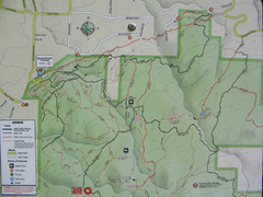
Kettle Valley Trails Map
Map of Kettle Valley Trails. Includes all trails, streets, and attractions.
45 miles away
Near Kettle Valley, Canada

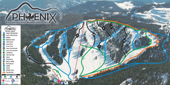
Phoenix Mountain Ski Trail Map
Trail map from Phoenix Mountain.
47 miles away
Near British Columbia, Canada

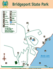
Bridgeport State Park Map
Map of park with detail of trails and recreation zones
49 miles away
Near Half Sun Way, #10 Bridgeport, WA 98813

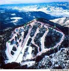
Loup Loup Ski Bowl Ski Trail Map
Trail map from Loup Loup Ski Bowl, which provides downhill, night, and nordic skiing. It has 2...
50 miles away
Near Washington, United States

 click for
 Fullsize

0 Comments
New comments have been temporarily disabled.