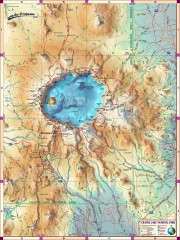
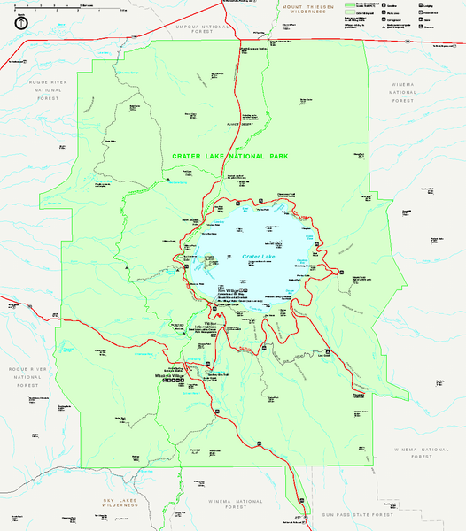
Crater Lake National Park official map
near Crater Lake National Park, OR
View Location
Official map of Crater Lake National Park. Shows hiking trails, elevations of peaks, roads, and water features.
See more
 See more
Nearby Maps

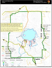
Crater Lake National Park map
Great map of Crater Lake National Park shows all trails, viewpoints, mountains, roads, campgrounds...
0 miles away
Near Crater Lake National Park, OR

Crater Lake National Park Map
less than 1 mile away
Near Crater Lake National Park

Diamond Lake Tourist Map
15 miles away
Near Chemult

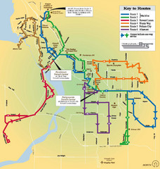
BTS Route Map
Map of BTS bus routes throughout Klamath Falls
52 miles away
Near Klamath Falls, Oregon

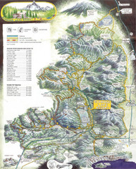
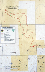
Grizzly Peak Trail Map
Topographic trail map of Grizzly Peak near Ashland, Oregon. Shows trails and distances. From...
53 miles away
Near Grizzly Peak, Ashland, Oregon

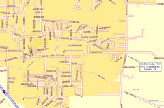
Medford, Oregon City Map
56 miles away
Near Medford, Oregon

 click for
 Fullsize


0 Comments
New comments have been temporarily disabled.