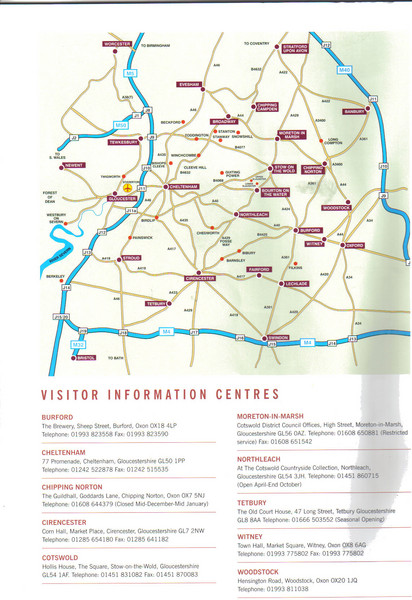
Cotswold England Tourist Map
near cirencester, England
View Location
The Cotswolds are situated in the Heart of England less than 2 Hours Drive from London. Map shows cities, roads and Visitor Information centres.
See more
 See more
Nearby Maps

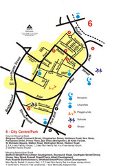
Gloucester City Park Map
16 miles away
Near Gloucester

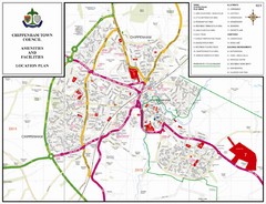
Chippenham Town Map
19 miles away
Near Chippenham, Wiltshire, UK

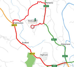
Hartpury College Directions Map
Map of location of Hartpury College campus and surrounding roads.
20 miles away
Near Hartpury, UK

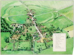
Avebury Tourist Map
Tourist map of Avebury, England. Shows Avebury Henge. From photo.
20 miles away
Near Avebury, England

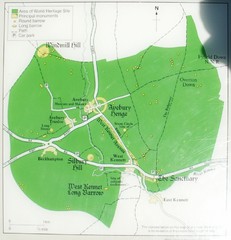
Avebury World Heritage Site Map
Map of Avebury, England showing World Heritage Site and surroundings. From photo.
21 miles away
Near Avebury, England

Steventon, South Oxfordshire Tourist Map
28 miles away
Near Steventon, South Oxfordshire

 click for
 Fullsize


0 Comments
New comments have been temporarily disabled.