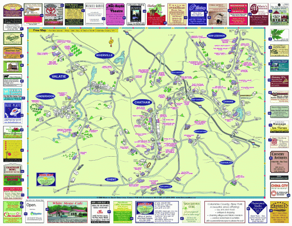
Columbia County - Austerlitz, Canaan, Chatham, East Chatham map
near Chatham, NY
View Location
Tourist map of Columbia County including towns of Austerlitz, Canaan, Chatham, East Chatham Ghent, Harlemville, Kinderhook, New Lebanon Old Chatham, Valatie
See more
 See more
Nearby Maps

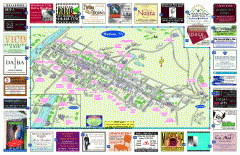
Hudson Tourist Map
Tourist map of Hudson, New York showing all tourist points of interest. Ads around border.
14 miles away
Near Hudson, NY

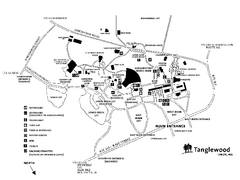
Tanglewood Map
Detailed map of the Tanglewood grounds that includes the location of the Box Office, Friends Office...
15 miles away
Near 297 West Street, Lenox, MA

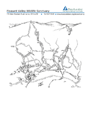
Pleasant Valley Wildlife Sanctuary Trail Map
Trail map of Pleasant Valley Wildlife Sanctuary
15 miles away
Near 472 West Mountain Road, Lenox, MA

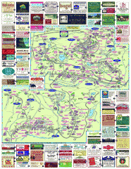
South County Berkshires map
Tourist map of Great Barrington, Housatonic, Sheffield, S. Egremont, N. Egremont Lenox, Stockbridge...
15 miles away
Near Stockbridge, MA

Lenox Village Map
Hand-drawn village map of historic center of Lenox, Massachusetts
16 miles away
Near Lenox, MA

Pittsfield State Forest summer trail map
Summer use trail map of Pittsfield State Forest in Massachusetts.
16 miles away
Near 1041 Cascade St. pittsfield, ma

 click for
 Fullsize


0 Comments
New comments have been temporarily disabled.