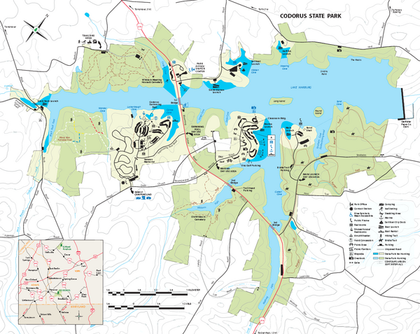
Codorus State State Park map
near Hanover PA, PA 17331-800
See more
 See more
Nearby Maps

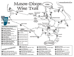
Mason-Dixon Wine Trail Map
Map of the Mason-Dixon Wine Trail, showing area wineries, historical sites, and lodging.
7 miles away
Near gettysburg, pennsylvania

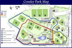
Cousler Park Map
16 miles away
Near 1060 Church Road York, Pennsylvania

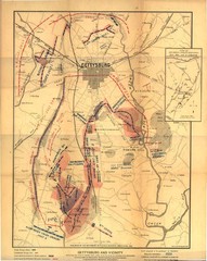
Gettysburg Battlefield Map
18 miles away
Near Gettysburg

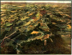
Gettysburg Battlefield in 1913 Map
Bird's eye view map of the Gettysburg Battlefield in 1913 by the Pennsylvania Railroad. From...
18 miles away
Near Gettysburg, PA

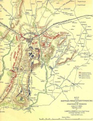
Gettysburg Battlefield map July 2, 1863
Map of the Union and Confederate positions in the Battle of Gettysburg July 2, 1863. "On July...
18 miles away
Near Gettysburg, PA

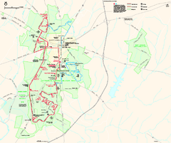
Gettysburg National Military Park Official Map
Official NPS map of Gettysburg National Military Park in Virginia. The park is open daily from 6...
18 miles away
Near Gettysburg National Military Park

 click for
 Fullsize


0 Comments
New comments have been temporarily disabled.