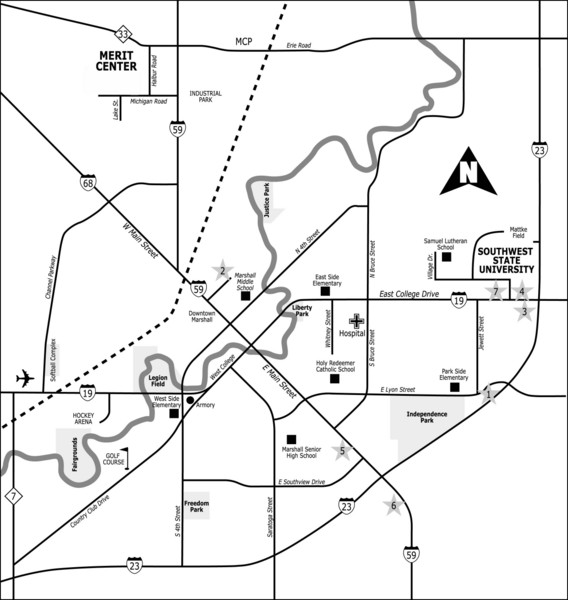
City of Marshall Visitor's Map
near Marshall, Minnesota, USA
View Location
City of Marshall Visitor's Map describes the location of basic needs as well as recreational places and parks in the city of Marshall.
See more
 See more
Nearby Maps

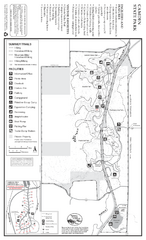
Camden State Park Summer Map
Map of park with detail of trails and recreation zones
9 miles away
Near 1897 Country Rd 68, Lynd, MN

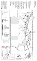
Camden State Park Winter Map
Map of park with detail of trails and recreation zones
9 miles away
Near 1897 Country Rd 68, Lynd, MN

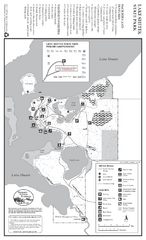
Lake Shetek State Park Winter Map
Winter seasonal map of park with detail of trails and recreation zones
24 miles away
Near 163 State Park Rd, Currie, MN

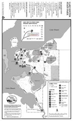
Lake Shetek State Park Summer Map
Summer seasonal map of park with detail of trails and recreation zones
25 miles away
Near 163 State Park Rd, Currie, MN

Upper Sioux Agency State Park Winter Map
Winter seasonal map of park with detail of trails and recreation zone
26 miles away
Near Granite Falls, MN

Upper Sioux Agency State Park Summer Map
Summer seasonal map of park with detail of trails and recreation zones
26 miles away
Near Granite Falls, MN

 click for
 Fullsize


0 Comments
New comments have been temporarily disabled.