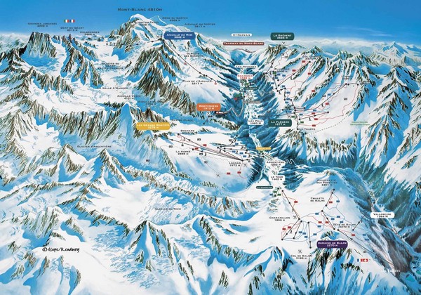
Chamonix Piste Ski Area Trail Map
near Mont-Blanc, Chamonix, France
See more

 See more
Nearby Maps

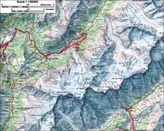
Mont Blanc topographic map
topo map of Mont Blanc, France; highest point in the Alps
4 miles away
Near chamonix, france

Chamonix Location Map
6 miles away
Near Chamonix, France

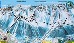
Chamonix—La Flegère Ski Trail Map
Trail map from Chamonix—La Flegère.
6 miles away
Near Chamonix, Flégère, France

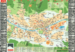
Chamonix Tourist Map
Tourist street map of Chamonix, France. In French.
6 miles away
Near Chamonix, France

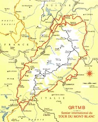
Tour du Mont Blanc Map
Beginner's Guide to the Tour du Mont Blanc
9 miles away
Near Mont Blanc, France

 click for
 Fullsize


1 Comments
It is nice to see the map. it is useful for guide purpose.The Chamonix valley is 16km's long, made up of five major ski stations. The valley has an excellent snow record with 90% of the ski area above 2000m. With over 150km's of patrolled ski runs.The skiing and snowboarding in the Chamonix Valley is divided across six main resorts each with its own specific feel and diverse terrain.Chamonix has many activities both on and off the snow to enjoy. Go snowshoeing, paragliding, speed skiing, cross country skiing, hiking, ice skating and romantic horse drawn sleigh rides http://www.wintersports360.net/chamonix-france-ski.html.