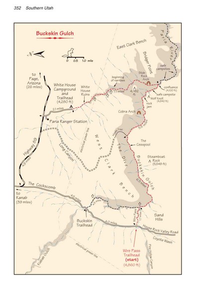
Buckskin Gulch Trail Map
near Buckskin Gulch, AZ, US
View Location
Guide to Buckskin Gulch, the longest slot canyon in the US
See more


 See more
Nearby Maps

Kodachrome Basin State Park Map
Trail map of Kodachrome Basin State Park, Utah. Shows hiking trails and park facilities.
23 miles away
Near Cannonville, UT 84718

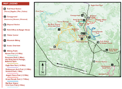
Bryce Canyon National Park Map
30 miles away
Near Bryce Canyon National Park

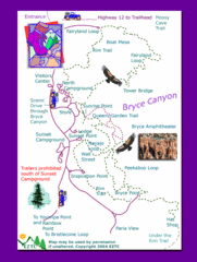
Bryce Canyon National Park Trails Map
30 miles away
Near Bryce Canyon National Park

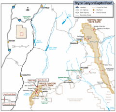
Bryce Canyon National Park Map
Roads, highways, rivers and points of interest are clearly marked on this simple map.
30 miles away
Near Bryce Canyon National Park

Bryce Canyon Official Park Map
Official NPS map of Bryce Canyon National Park in Utah. Map shows all areas. The park is open 24...
32 miles away
Near Bryce Canyon

Brycec Canyon National Park Map
33 miles away
Near Bryce Canyon National Park Map

 click for
 Fullsize

1 Comments
One of the best hikes of my life! narrows, quicksand, etc. didn't go through Buckskin Gulch but went down the Paria River and through the narrows out to Lee's Ferry. amazing 40 mile trip.