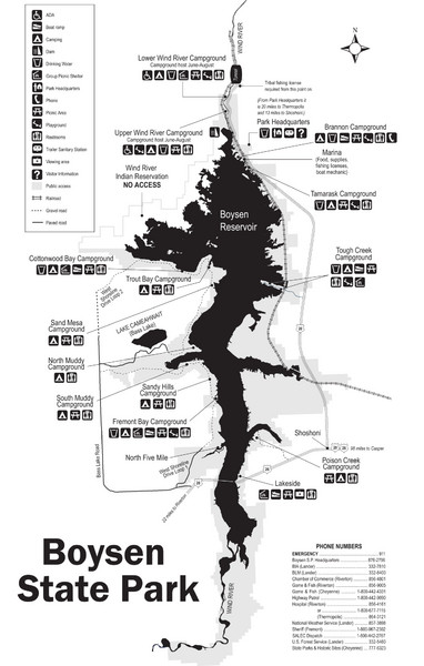
Boysen State Park Map
near Boysen State Park, Wyoming
See more
 See more
Nearby Maps

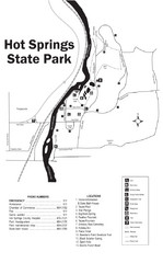
Hot Springs State Park Map
Enjoy our soothing waters, views of the unforgettable bison and some of the loveliest flower...
25 miles away
Near Hot Springs State Park, Wyoming

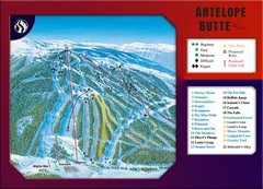
Antelope Butte Ski Area Ski Trail Map
Trail map from Antelope Butte Ski Area.
47 miles away
Near Antelope Butte Ski Area, Wyoming

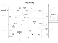
Wyoming Airports Map
47 miles away
Near Wyoming

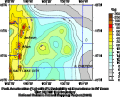
Seismic Hazard Map of Wyoming
Seismic Hazard map of probable earthquake activity for Wyoming.
47 miles away
Near Wyoming

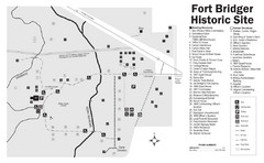
Fort Bridger State Historic Site Map
Established by Jim Bridger and Louis Vasquez in 1843 as an emigrant supply stop along the Oregon...
47 miles away
Near Fort Bridger State Historic Site, Wyoming

 click for
 Fullsize


0 Comments
New comments have been temporarily disabled.