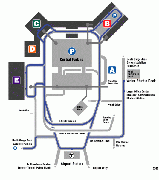
Boston/General Edward Lawrence Logan International Airport Map
near Boston/General Edward Lawrence Logan International Airport
View Location
Terminal map of Boston/General Edward Lawrence Logan International Airport. Shows all areas.
See more
 See more
Nearby Maps

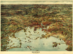
Walker's Map of Boston Harbor and Environs...
Walker's map of Boston Harbor and immediate environs from 1905.
less than 1 mile away
Near boston harbor

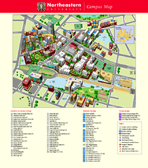
Northeastern University Map
Northeastern University Campus Map. All areas shown.
2 miles away
Near Boston, Massachusetts

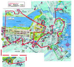
Boston Beantown Trolley Route Map
Route Map for the Boston Beantown trolley. Shows the trolley route, all stops, and a colorful...
2 miles away
Near Boston, Massachusetts, USA

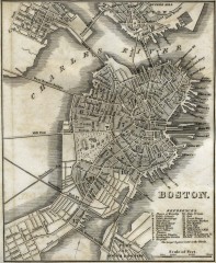
Antique map of Boston from 1842
Antique map of Boston from Tanner, H.S. The American Traveller; or Guide Through the United States...
2 miles away
Near boston, massachusetts

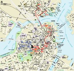
Boston National Historical Park Official Park Map
Official NPS map of Boston National Historical Park in Boston, Massachusetts. From park brochure...
2 miles away
Near Charlestown Navy Yard Boston, MA 02129

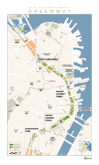
Rose Fitzgerald Kennedy Greenway Map
Boston's extensive heritage of parklands and common ground includes the Emerald Necklace...
2 miles away
Near Boston, MA, 02110, USA

 click for
 Fullsize


0 Comments
New comments have been temporarily disabled.