Edit this map

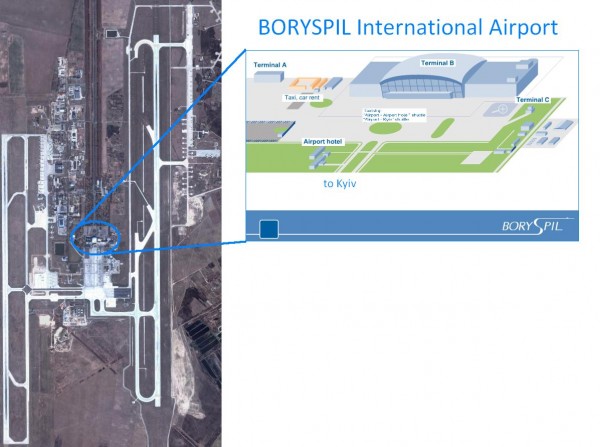
Boryspil International Airport Map

near Boryspil, Ukraine

View LocationView Map

50.35418 30.952287 10 satellite
Nearest Map »  Fullsize
1197 × 891122 KBJPG

Terminal and Road map of Boryspil International Airport. Near Kyiv, Ukraine.

From Official site of state enterprise "Boryspil International Airport"

Maxvell added
Jan 24, 2008

Rating
rated 4 by 1 person

See an error? Report it.

Keywords

tourism, airport, kyiv, directions, transportation, ukraine

0 Comments

New comments have been temporarily disabled.
.
See more

Nearby Maps

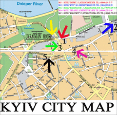
Kyiv City Map

Kyiv City Map

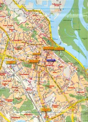
City map of Kyiv with hotels

19 miles away

Near Kyiv, Ukraine
Keywords: reference, city, hotels
Kyiv City Map

Kyiv City Map

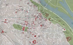
City map of central Kyiv, Ukraine. Shows major streets and buildings.

20 miles away

rated 2 by 2 people
Near Kyiv, Ukraine
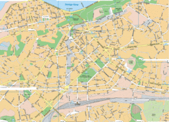
Kiev Street Map

Kiev Street Map

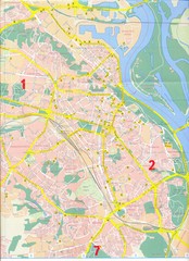
Street map of Kiev, Ukraine.

20 miles away

rated 3.5 by 2 people
Near Kiev, Ukraine
Kyiv Map

Kyiv Map

21 miles away

Near kyiv
Kiev Tourist Map

Kiev Tourist Map

Tourist map of Kiev, Ukraine. Symbols show points of interest and services.

21 miles away

rated 3 by 2 people
Near Kiev, Ukraine
Official Kyiv Metro Map (Ukrainian)

Official Kyiv Metro Map (Ukrainian)

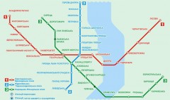
Official metro map of Kyiv. Schematic, not tied to geography. In Ukrainian.

21 miles away

rated 4 by 1 person
Near Kyiv, Ukraine
See more