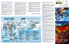
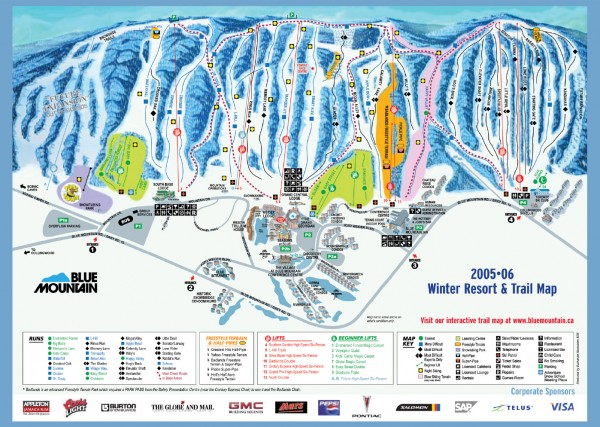
Blue Mountain Ski Trail Map
near 108 Jozo Weider Blvd, Collingwood, Ontario
See more

 See more
Nearby Maps

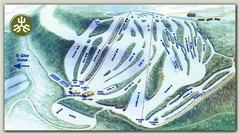
Craigleith Ski Club Ski Trail Map
Trail map from Craigleith Ski Club, which provides downhill skiing. This ski area has its own...
less than 1 mile away
Near Collingwood, Ontario, Canada

Blue Mountain Ski Trail Map
Trail map from Blue Mountain, which provides downhill skiing. This ski area has its own website.
1 mile away
Near Collingwood, Ontario, Canada

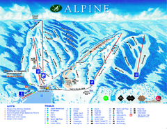
Alpine Ski Club Ski Trail Map
Trail map from Alpine Ski Club, which provides downhill skiing. This ski area has its own website.
1 mile away
Near Ontario, Canada

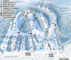
Georgian Peaks Club Ski Trail Map
Trail map from Georgian Peaks Club, which provides downhill and nordic skiing. This ski area has...
3 miles away
Near Ontario, Canada

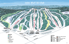
Osler Bluff Ski Club Ski Trail Map
Trail map from Osler Bluff Ski Club, which provides downhill skiing. This ski area has its own...
4 miles away
Near Collingwood, Ontario, Canada

Devils Glen Ski Trail Map
Trail map from Devils Glen, which provides downhill skiing. This ski area has its own website.
12 miles away

 click for
 Fullsize


1 Comments
area is owned by Intrawest