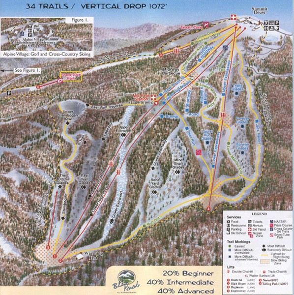
Blue Knob Four Seasons Ski Trail Map
near Claysburg, Pennsylvania, United States
See more
 See more
Nearby Maps

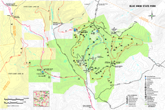
Blue Knob State Park Map
Detailed recreation map for Blue Knob State Park in Pennsylvania
2 miles away
Near Imler, PA 16655-9207

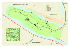
Warriors Path State Park Map
Detailed recreation map for Warriors Path State Park in Pennsylvania.
17 miles away
Near James Creek, PA 16657-9302

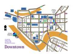
Downtown Johnstown Map
Downtown Johnstown road and bus route map.
19 miles away
Near Downtown Johnstown, PA, USA

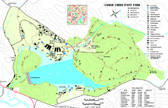
Canoe Creek State Park map
Detailed recreation map for Canoe Creek State Park in Pennsylvania
20 miles away
Near Hollidaysburg, PA 16648-9752

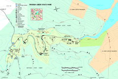
Trough Creek State Park map
Detailed recreation map for Trough Creek State Park in Pennsylvania
23 miles away
Near James Creek, PA 16657-9302

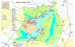
Prince Gallitzin State Park Map
Detailed Recreation map of Prince Gallitzin State Park in Pennsylvania
26 miles away
Near Patton, PA 16668-6317

 click for
 Fullsize

0 Comments
New comments have been temporarily disabled.