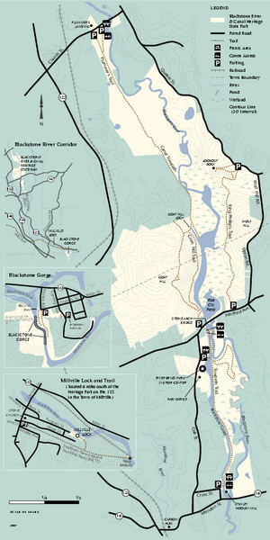
Blackstone Trail Map
near blackstone, ma
See more
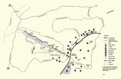
 See more
Nearby Maps

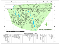
Woonsocket Street Map
Street map of Woonsocket, Rhode Island. Shows street legend.
2 miles away
Near Woonsocket, RI

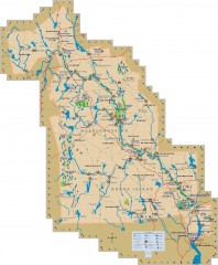
Blackstone Valley tourist map
Tourist map of the Blackston Valley in Rhode Island and Massachusetts. Shows hiking, biking, and...
8 miles away
Near blackstone valley, rhode island

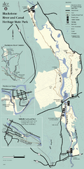
Heritage State Park Map
Clear state park map marking trails and facilities.
8 miles away
Near Heritage State Park, Ma

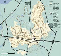
Wrentham State Forest trail map
Trail map of Wrentham State Forest in Massachusetts.
11 miles away
Near wrentham state forest, ma

Purgatory Chasm State Reservation trail map
Trail map of Purgatory Chasm State Reservation in Massachusetts.
11 miles away
Near sutton, ma

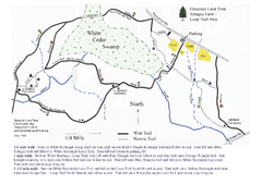
Sprague Farm - Glocester Land Trust Map
12 miles away
Near Chepachet, RI

 click for
 Fullsize


0 Comments
New comments have been temporarily disabled.