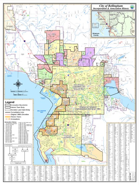
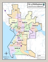
Bellingham, Washington City Map
near Bellingham
See more
 See more
Nearby Maps

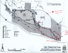
Lake Padden Park Trails Map
Course Elevation Map noted in handwriting on map. Festival location noted as well.
4 miles away
Near Lake Padden , Bellingham, WA

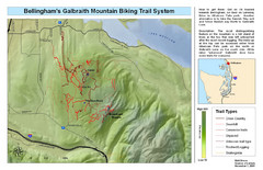
Bellingham Galbraith Mountain Biking Trail Map
Mountain biking trail map of Whatcom Falls Park near Bellingham, WA
5 miles away
Near Whatcom Park, Bellingham, WA

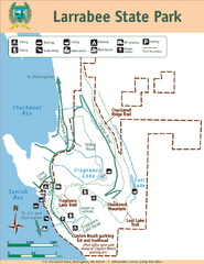
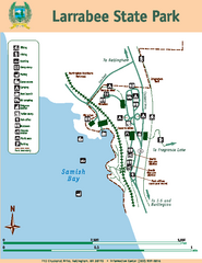
Larrabee State Park Map
Park map of Larrabee State Park, Washington.
7 miles away
Near Larrabee State Park, WA

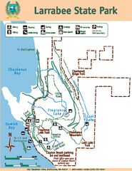
Larrabee State Park Map
Map of island with detail of trails and recreation zones
7 miles away
Near 245 Chuckanut Dr, Bellingham, WA

Larrabee State Park Map
Map of island with detail of trails and recreation zones
7 miles away
Near 245 Chuckanut Dr, Bellingham, WA

 click for
 Fullsize

0 Comments
New comments have been temporarily disabled.