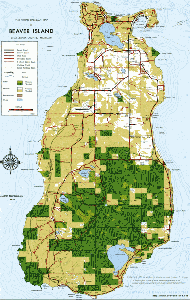
Beaver Island Michigan Map
near Beaver Island, MI
View Location
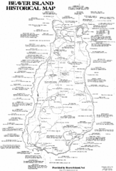
Map of Beaver Island, Michigan. Created in 1977 by William Cashman and Edward Wojan. From beaverisland.net: "Second Wojan-Cashman Map of Beaver Island will be available from Island merchants and from the Chamber of Commerce. The original Wojan-Cashman map (above) sold on the Island since 1977 - the new map features 29 years of road and trail updates, revised clearings, topography, new landmarks, a detailed legend of public access points, and much more."
See more
 See more
Nearby Maps

Beaver Island History Map
2 miles away
Near Beaver Island, Michigan

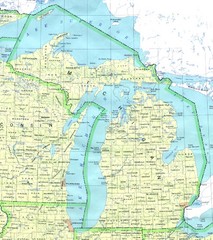
Lake Michigan Map
8 miles away
Near Lake Michigan, Michigan, USA

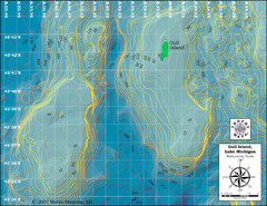
Gull Island Bathymetric Map
16 miles away
Near Gull Island, Lake Michigan

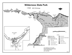
Wilderness State Park, Michigan Site Map
33 miles away
Near Wilderness State Park, MI

Boyne Highlands Ski Trail Map
Official ski trail map of Boyne Highlands ski area from the 2006-2007 season.
34 miles away
Near 600 Highland Drive, Harbor Springs, MI 49740

Nubs Nob Ski Area Main Ski Trail Map
Trail map from Nubs Nob Ski Area.
36 miles away
Near Harbor Springs, Michigan, United States

 click for
 Fullsize


0 Comments
New comments have been temporarily disabled.