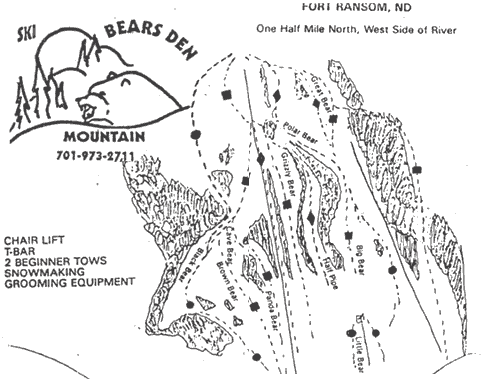
Bears Den Mountain Ski Trail Map
near Fort Ransom, North Dakota, United States
See more
 See more
Nearby Maps

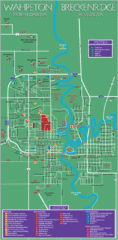
Wahpeton and Breckenridge City Map
City map of Wahpeton, North Dakota and Breckenridge, Minnesota. Shows motels, education...
66 miles away
Near Wahpeton, North Dakota

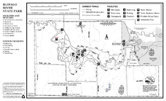
Buffalo River State Park Map
Map of park with detail of trails and recreation zones
73 miles away
Near Buggalo River State Park, Glyndon, MN

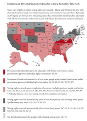
Criminal Disenfranchisement Laws in the U.S. Map
For a state-by-state guide on felony.
75 miles away
Near United States

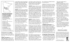
Maplewood State Park Winter Map
Winter seasonal map of park with detail of trails and recreation zones
94 miles away
Near 39721 Park Entrance Rd, Pelican Rapids, MN

Maplewood State Park Summer Map
Summer seasonal map of park with detail of trails and recreation zones
95 miles away
Near 39721 Park Entrance Rd, Pelican Rapids, MN

Big Stone Lake State Park Map
Map of park with detail of trails and recreation zones
96 miles away
Near Big Stone lake State Park, Ortonville, MN

 click for
 Fullsize

0 Comments
New comments have been temporarily disabled.