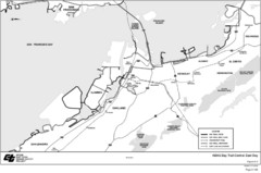
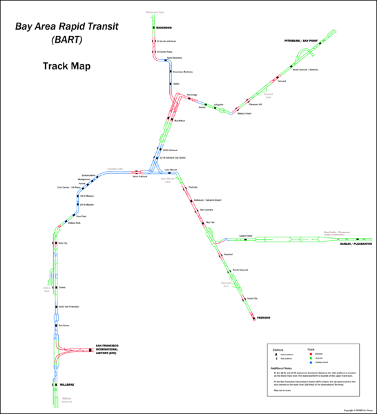
Bay Area Rapid Transit (BART) Track Map
near San Franciso, California, USA
View Location
Map of Bay Area Rapid Transit (BART) tracks. Includes all train stops and details about the tracks.
See more
 See more
Nearby Maps

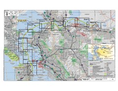
San Francisco Trans Bay Cable Project EIR Map
Map A.2-1 Detailed Project Location
less than 1 mile away
Near San Francisco, ca

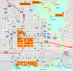
Downtown Oakland, California Map
Tourist map of downtown Oakland, California. Shows museums, parks, neighborhoods of interest and...
1 mile away
Near oakland, ca

Bay Area, CA Bike Map
1 mile away
Near Oakland, CA

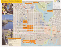
Oakland Tourist Map
Tourist map of downtown Oakland, California. Shows shopping districts.
2 miles away
Near Oakland, California

Sausal Creek Watershed Trail Map
Trail map of the Sausal Creek Watershed in Oakland, California. Show trails in Joaquin Miller Park...
3 miles away
Near Oakland, CA

 click for
 Fullsize


0 Comments
New comments have been temporarily disabled.