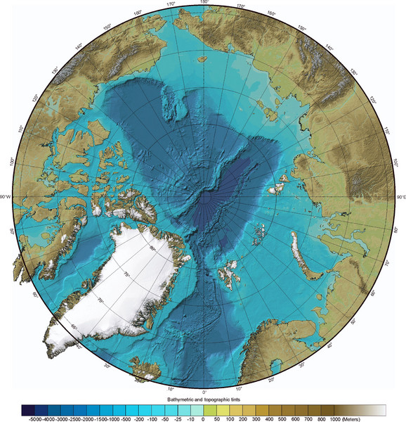
Arctic Ocean Bathymetric Map
near Arctic Ocean
View Location
Bathymetric map of Arctic Ocean shows all ocean topography and topographical tints for land.
See more
 See more
Nearby Maps

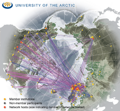
University of the Arctic Thematic Networks map
University of the Arctic represents a network with more than 100 institutions around the...
324 miles away

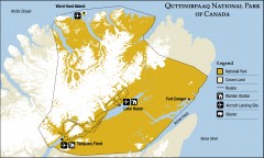
Quttinirpaaq National Park map
Official Parks Canada map of Quttinirpaaq National Park. From Parks Canada website: "Far to...
409 miles away
Near Hazen Camp, Canada

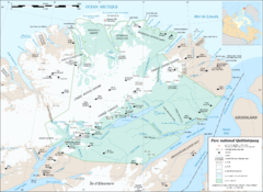
Parc National Quttinirpaaq Map
Map of Quttinirpaaq National Park, Nunavut, Canada. Shows glaciers, rivers, bodies of water, and...
416 miles away
Near Parc National Quttinirpaaq, Nunavut, Canada

 click for
 Fullsize


1 Comments
weird how the deepest waters of the Arctic resemble the shapes of North and South America