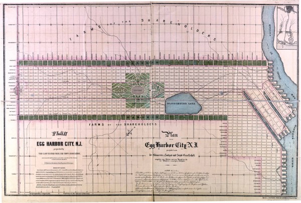
Antique map of Egg Harbor City from 1857
near egg harbor city, new jersey
See more
 See more
Nearby Maps

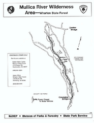
Mullica River camp area map
Camp area map for the Mullica River camp area in Wharton State Forest, New Jersey.
6 miles away
Near hammonton, NJ 08037

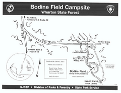
Bodine Field camp area map
Map of Bodine Field camp area in Wharton State Forest, New Jersey.
10 miles away
Near hammonton, NJ 08037

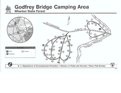
Godfrey Bridge Campground Map
Map of Godfrey Bridge Campground in Wharton State Forest, New Jersey.
11 miles away
Near Hammonton, NJ 08037

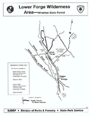
Lower Forge camp area map
Camp area map for the Lower Forge area in Wharton State Forest in New Jersey
12 miles away
Near hammonton, NJ 08037

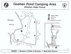
Goshen Pond camp area map
Camp area map for Goshen Pond in Wharton State Forest in New Jersey.
15 miles away
Near hammonton, NJ 08037

Casinos in Atlantic City, New Jersey Map
Tourist map of Atlantic City, New Jersey, showing the locations of casinos, as well as shopping and...
17 miles away
Near Atlantic City, NJ

 click for
 Fullsize


0 Comments
New comments have been temporarily disabled.