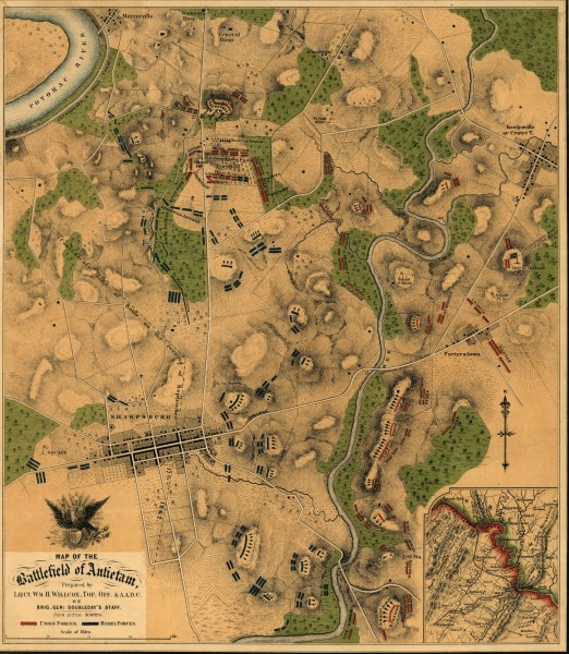
Antietam Battlefield Map
near Sharpsburg, MD
View Location
Map of the battlefield of Antietam/Sharpsburg. Shows Union and "Rebel" forces on September 17, 1862. Antietam was the bloodiest single day of the Civil War, with 23,000 soldiers killed or wounded.
See more


 See more
Nearby Maps

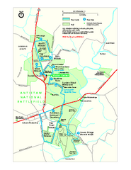
Antietam National Battlefield Official Map
Official NPS map of Antietam National Battlefield in Maryland. Open all year.
less than 1 mile away
Near Antietam National Battlefield

Chesapeake & Ohio Canal National Historical...
Official NPS map of Chesapeake & Ohio Canal National Historical Park in Pennsylvania, West...
10 miles away
Near Hagerstown, MD 21740-6620

Harpers Ferry National Historical Park Official...
Official NPS map of Harpers Ferry National Historical Park in West Virginia-Maryland. Map shows all...
10 miles away
Near Harpers Ferry , WV 25425

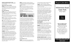
Wilderness Road State Park Map
Clearly marked state park map and legend.
11 miles away
Near Wilderness Road State Park, Virginia

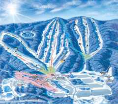
Whitetail Ski Trail Map
Official ski trail map of Whitetail Resort ski area.
21 miles away
Near 13805 Blairs Valley Road, Mercersburg PA, 17236

Whitetail Ski Resort Ski Trail Map
Trail map from Whitetail Ski Resort.
21 miles away
Near Mercersburg, Pennsylvania, United States

 click for
 Fullsize


0 Comments
New comments have been temporarily disabled.