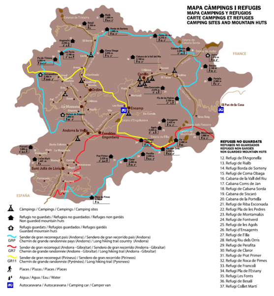
Andorra Long Hiking Routes, Mountain Huts, and Camping Sites Map
near Andorra
View Location
Shows long hiking trails (grande randonee), mountain hits (refuges), and camping sites in Andorra
Tweet
See an error? Report it.
Keywords
recreation, hiking, trails, grande randonee, gr7, gr11, huts, mountain huts, refuges, camping, children, placeforchildren See more
 See more
Nearby Maps

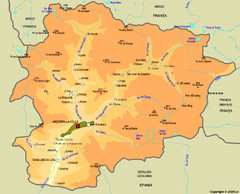
Andorra cities Map
less than 1 mile away
Near andorra

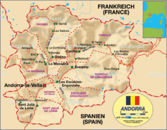
Andorra rough map
less than 1 mile away
Near andorra

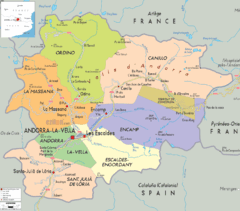
Andorra: political Map
less than 1 mile away
Near Andorra

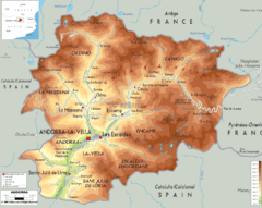
Andorra - Physical Map
less than 1 mile away
Near andorra

 click for
 Fullsize

0 Comments
New comments have been temporarily disabled.