Edit this map

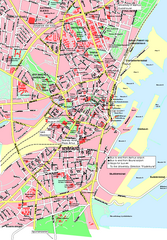
Aalborg City Map

near Aalborg, Denmark

View LocationView Map

57.0475701081564 9.9200963973999 15 satellite
Nearest Map »  Fullsize
746 × 1052776 KBJPG

City map with detail of main streets

From www.benogo.dk

Megan added
Aug 21, 2009

Rating
no ratings

See an error? Report it.

Keywords

reference, city, town, street map

0 Comments

New comments have been temporarily disabled.
.
See more

Nearby Maps

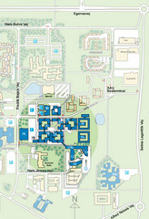
Aalborg University - Fredrik Bajers Vej Map

Aalborg University - Fredrik Bajers Vej Map

3 miles away

Near Fredrik Bajers Vej
Keywords: school
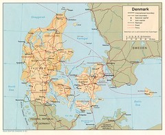
Denmark Map

Denmark Map

Map of Denmark showing cities, roads, railways and borders.

56 miles away

Near Denmark
Keywords: reference
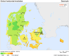
Solar Radiation Map of Denmark

Solar Radiation Map of Denmark

Solar Radiation Map Based on high resolution Solar Radiation Database: SolarGIS. On the Solar Map...

56 miles away

Near denmark
Keywords: statistics
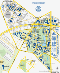
Aarhus University Map

Aarhus University Map

Official map of Aarhus University in Arhus, Denmark

62 miles away

Near Aarhus, Denmark
Aarhus City Map

Aarhus City Map

City map

63 miles away

Near Aarhus, Denmark
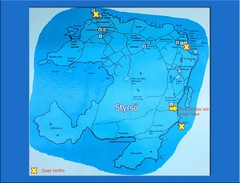
Styrso Island Map

Styrso Island Map

Photo of sign.

79 miles away

Near Styrso, Sweden
Keywords: reference, island
See more