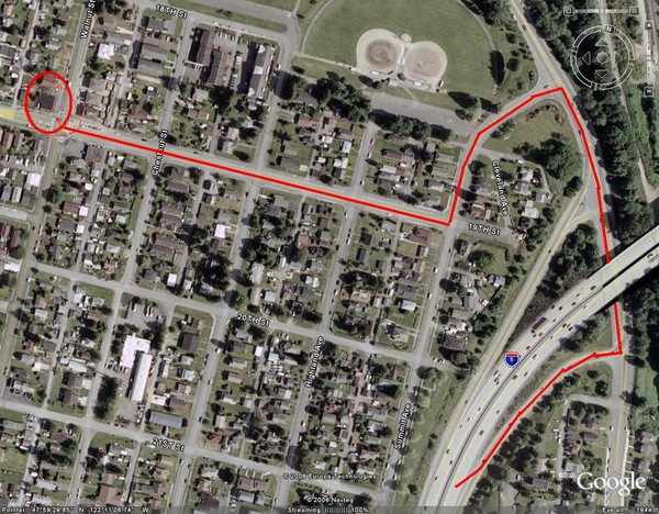
19th and Walnut in Everett, WA Map
near Everett, WA
See more
 See more
Nearby Maps

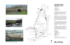
Spencer Island Park map
2 miles away
Near Spencer Island Park, WA

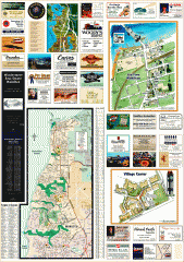
Mukilteo tourist map
Greater Mukilteo, Washington tourist map. Shows all businesses.
4 miles away
Near mukilteo, washington

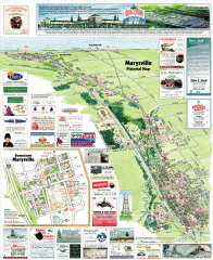
Marysville tourist map
Tourist map of Marysville, Washington. Shows all businesses.
5 miles away
Near marysville, washington

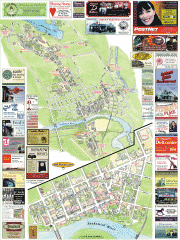
Snohomish tourist map
Snohomish, Washington tourist map. Shows all businesses.
7 miles away
Near snohomish, washington

Snohomish tourst map
Tourist map of Snohomish, Washington. Shows all businesses.
7 miles away
Near snohomish, washington

Centennial Trail Map
Centennial Trail has 23 miles completed (Snohomish to Bryant) with more in progress.
7 miles away
Near Snohomish, WA

 click for
 Fullsize


1 Comments
wow, what a find, i used to live on this exact intersection, 1827B Walnut st, everett, wa. my old place... before it started going downhill.