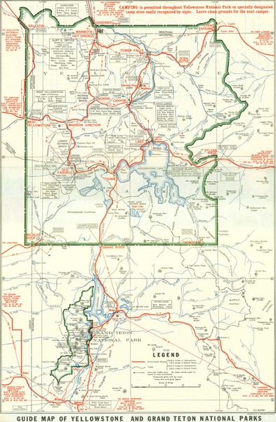
1929 Yellowstone and Grand Teton National Parks Map
near Yellowstone National Park, WY, US
See more
 See more
Nearby Maps

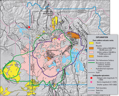
Yellowstone Geologic Map
Guide to geology, volcanic and earthquake activity and caldera outlines in Yellowstone National Park
2 miles away
Near Yellowstone National Park, Wyoming, US

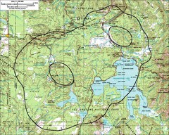
Yellowstone Lake Topographic Map
Topographic guide to Yellowstone Lake in Yellowstone National Park
9 miles away
Near Yellowstone Lake, Wyoming, US

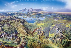
Yellowstone oblique Map
Oblique Panorama map of Yellowstone National Park
9 miles away
Near yellowstone

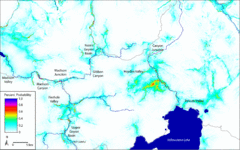
Bison Travel in Yellowstone National Park Map
General bison travel in Yellowstone National Forest, Wyoming
11 miles away
Near Yellowstone National Park

Yellowstone National Park official map
Official NPS map of Yellowstone National Park. Detail map of park with shaded relief. Established...
19 miles away
Near Yellowstone National Park, WY

Fee’s map of Yellowstone National Park...
Charles S. Fee's map of Yellowstone in 1895.
19 miles away
Near Yellowstone National Park

 click for
 Fullsize


0 Comments
New comments have been temporarily disabled.