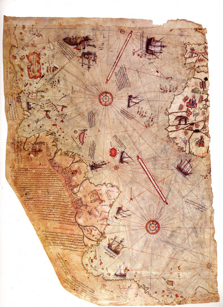
1513 Turkish Map of the Americas
near near South America
View Location
First Turkish map to show Americas, summary of 20 older maps, drawn on gazelle skin. Very accurate, many claims of extraterrestrial mapping assistance.
Tweet
See an error? Report it.
Keywords
history, christopher columbus, ottoman-turkish, alexander the great, antarctica, topkapi palace See more

 See more
Nearby Maps

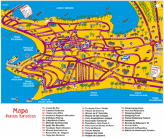
Tourism Map - Maceio, AL
189 miles away
Near maceio, al

Campina Grande Neighborhood Map
Shows neighborhoods (bairros) of city of Campina Grande, Brazil. Campina Grande is the 2nd most...
198 miles away
Near Campina Grande, Brazil

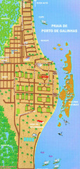
Porto De Galinhas Tourist Map
Porto de Galinhas, Brazil tourist map showing roads and tourist activities.
228 miles away
Near Porto de Galinhas

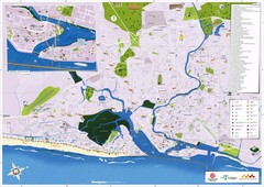
Recife Tourism Map
240 miles away
Near Recife, PE

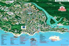
João Pessoa Tourist Map
Tourist map of Joao Pessoa, Brazil. Shows points of interest.
265 miles away
Near João Pessoa, Brazil

 click for
 Fullsize


0 Comments
New comments have been temporarily disabled.