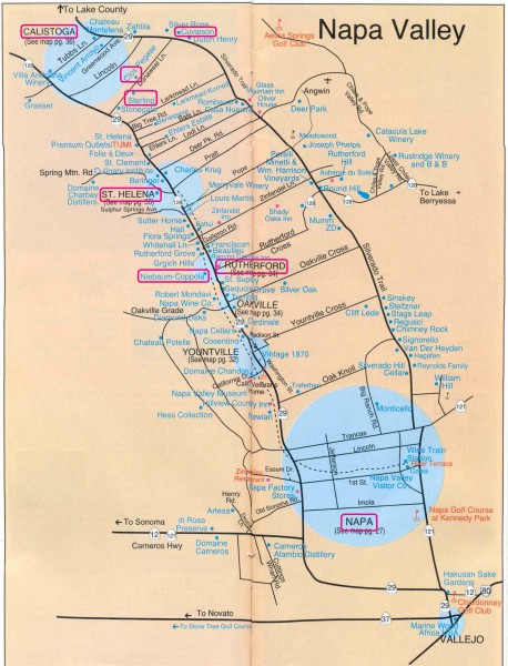
Napa Valley Tourist map
near napa, california
See more
 See more
Nearby Maps

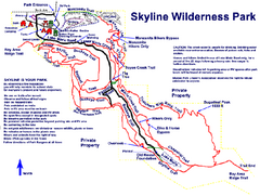
Skyline Wilderness Park Map
Trail map of Skyline Wilderness Park in Napa, California
2 miles away
Near 2201 Imola Ave., Napa, CA

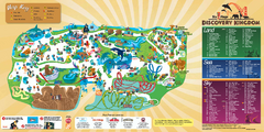
Six Flags Discovery Kingdom Park Map
Six Flags Discovery Kingdom theme park (formerly Marine World) in Vallejo, California. Experience...
8 miles away
Near 2001 Marine World Pky, Vallejo, CA 94589

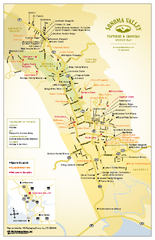
Sonoma Valley Winery Map
High quality map of Sonoma Valley wineries from the vinters and growers. Shows all key roads and...
11 miles away
Near Sonoma Valley, California

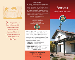
Sonoma State Historic Park Map
Map of park with detail of trails and recreation zones
11 miles away
Near 363 3rd St West, Sonoma, CA

Touro University Map
Campus map of Touro University's Mare Island Campus.
11 miles away
Near 1310 Club Drive, Vallejo, CA 94592

California Redwood Range Map
NPS prospective map of the coastal redwoord range in California, extending from Santa Cruz north to...
11 miles away
Near Napa, California

 click for
 Fullsize


0 Comments
New comments have been temporarily disabled.