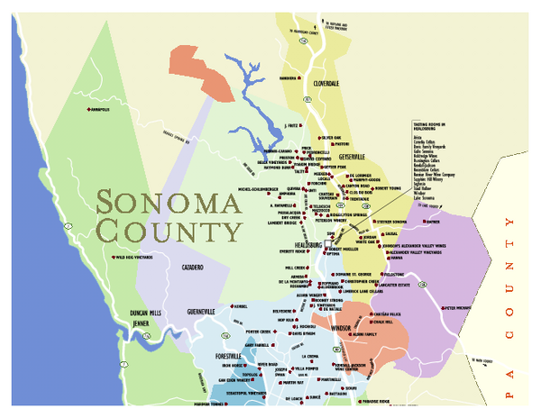
Wineries in Sonoma County, California Map
near sonoma, ca
View Location
Map of winery locations in Sonoma County, California. Shows wineries, tasting rooms, and valleys of interest.
See more
 See more
Nearby Maps

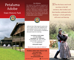
Petaluma Adobe State Historic Park Map
Map of park with detail of trails and recreation zones
9 miles away
Near 3325 Adobe Rd, Petaluma, CA

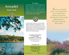
Annadel State Park Map
Map of park with detail of trails and recreation zones
9 miles away
Near 6201 Channel Drive, Santa Rosa, CA

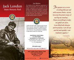
Jack London State Historic Park Map
Map of park with detail of trails and recreation zones
11 miles away
Near 2400 London Ranch Rd, Glen Ellen, CA

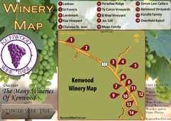
Kenwood Wine Tasting Map
12 miles away
Near Kenwood ca

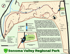
Sonoma Valley Regional Park Map
Trail map of 202 acre Sonoma Valley Regional Park.
13 miles away
Near Sonoma, CA

 click for
 Fullsize


0 Comments
New comments have been temporarily disabled.