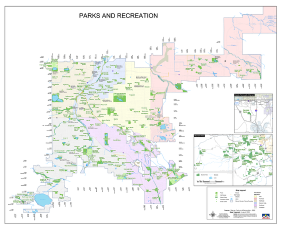
Denver City Parks map
near Denver, CO
See more
 See more
Nearby Maps

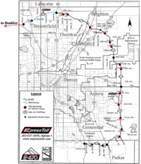
Denver Toll Road Map
less than 1 mile away
Near Denver

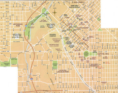
Denver, Colorado City Map
less than 1 mile away
Near Denver, CO

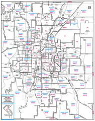
Denver, Colorado Zip Codes Map
less than 1 mile away
Near Denver, CO

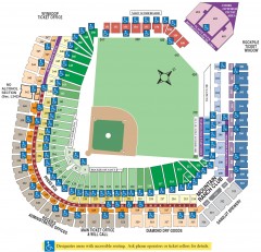
Coors Field Seating Chart Map
Seating chart of Coors Field, home of the MLB Colorado Rockies. This map shows all seating...
less than 1 mile away
Near Coors Field

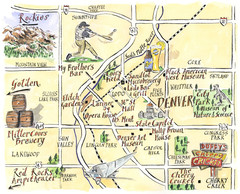
Denver Tourist Illustrated map
less than 1 mile away

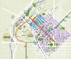
Downtown Denver map
Map of downtown Denver, CO. Shows streets, parks, light rail routes, the Colorado Convention...
less than 1 mile away
Near Denver, CO

 click for
 Fullsize


0 Comments
New comments have been temporarily disabled.