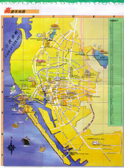
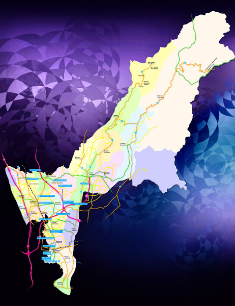
Kaohsiung County Traffic Guide Map
near Kaohsiung County, Taiwan
See more
 See more
Nearby Maps

Kaohsiung Map
31 miles away
Near Kaohsiung airport

Tainan City Hotel Map
32 miles away
Near Tainan City

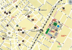
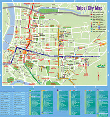
Taipei Tourist Map
41 miles away
Near Taipei

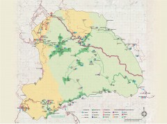
Yushan National Park Hiking Map
Trail map of Yushan National Park, Tawian. Home to highest mountain in Taiwan and East Asia...
47 miles away

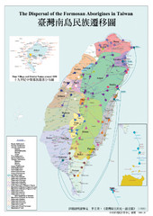
Dispersal of the Formosa Aborigines of Taiwan Map
Shows dispersal of the Formosa aborigines of Taiwan over last few thousand years.
55 miles away
Near Taiwan

Taian Tourist Map
55 miles away
Near Taian

 click for
 Fullsize


0 Comments
New comments have been temporarily disabled.