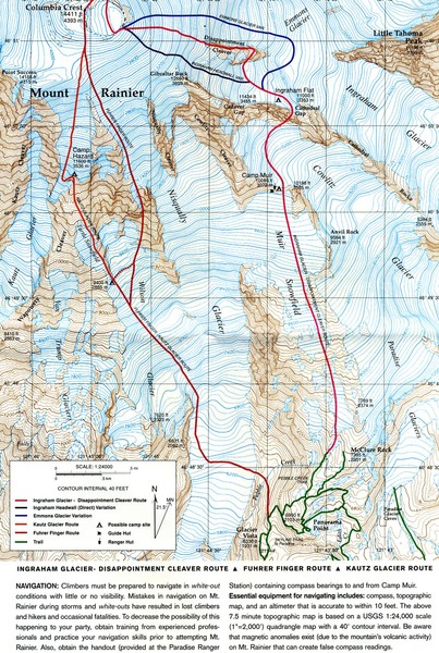
Mount Rainier Topo Map
near Mount Raineir, Washington
View Location
Map of Mount Rainier Ascent. We ascended the "Muir Snowfield" and then went up the "Ingraham Headwall.
See more
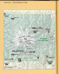
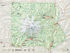 See more
Nearby Maps

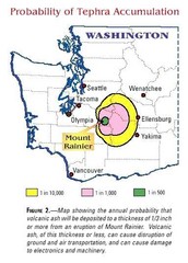
Mount Rainier Probability of Tephra (Ash...
8 miles away
Near Mount Rainier Washington

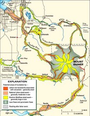
Mount Rainier Potential Lava Flow, Mud Flow and...
Hazard zones for lahars, lava flows, and pyroclastic flows from Mount Rainier. The map shows areas...
8 miles away
Near Mount Rainier Washington

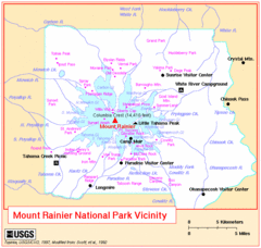
Mount Rainier National Park Vicinity Map
10 miles away
Near Mount Rainier Washington

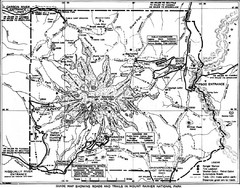
1928 Mount Rainier National Park Map
Guide to Mount Rainier National Park in 1938
10 miles away
Near Mount Rainier, WA, US

Mount Rainier National Park Map
Guide to the Mount Rainier National Park
10 miles away
Near Mount Rainier, WA, US

Mount Rainier National Park map
Official NPS map of Mt. Rainier National Park. Shows the entire park and surroundings
11 miles away
Near Mount Rainier National Park, WA

 click for
 Fullsize


0 Comments
New comments have been temporarily disabled.