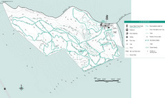
Henry W. Coe State Park, Dowdy Ranch Map
near Henry W. Coe State Park
See more

 See more
Nearby Maps

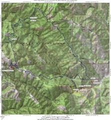
Henry Willard Coe State Park Topographical Map
Topographical map of Henry Willard Coe State Park. Includes roads, elevation information and some...
2 miles away
Near Santa Clara County, California, USA

Henry W. Coe State Park Map
Map of park with detail of trails and recreation zones
2 miles away
Near 9000 E. Dunne Ave, Morgan Hill, CA

Gilroy Wine Tasting Map
14 miles away
Near Gilroy ca

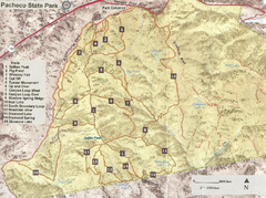
Pacheco State Park Trail Map
Map of park with details of different trails
15 miles away
Near 38787 Dinosaur Point Rd, Hollister, CA

Pacheco State Park Map
Map of park with detail of trails and recreation zones
16 miles away
Near 38787 Dinosaur Point Rd, Hollister, CA

Motorcycle County Park Map
Map of Motorcycle County Park in Santa Clara County near San Jose, California. Shows all park...
17 miles away
Near San Jose, CA, USA

 click for
 Fullsize


0 Comments
New comments have been temporarily disabled.