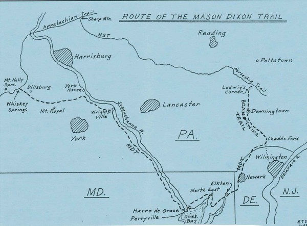
Mason Dixon Trail Map
near Lancaster, PA
View Location
Hand drawn map of the Mason-Dixon Trail. The 193 mile long Mason-Dixon Trail starts on the Appalachian trial at Whiskey Spings in Cumberland County, PA and runs to Chadds Ford, PA, on the banks of the Brandywine River.
See more


 See more
Nearby Maps

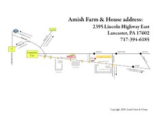
Amish Farm and House Route Map
Map showing directions to the Amish Farm and House with locations of key buildings and streets in...
6 miles away
Near Lancaster City, Pennsilvania, USA

Handrawn Lancaster County Map
Guide to Amish country in Pennsylvania
12 miles away
Near Lancaster County, PA, US

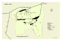
Samuel S. Lewis State Park map
Recreation map for Samuel Lewis State Park in Pennsylvania
13 miles away
Near 6000 Mt. Pisgah Rd., YORK, PA 17406

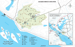
Susquehannock State Park map
Detailed recreation map for Susquehannock State Park in Pennsylvania
16 miles away
Near Drumore, PA 17518

Oriel College Map
25 miles away
Near Oriel College, Oxford, UK

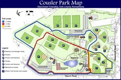
Cousler Park Map
25 miles away
Near 1060 Church Road York, Pennsylvania

 click for
 Fullsize


0 Comments
New comments have been temporarily disabled.